Search and rescue with drones are a practical and useful reality today. We at BAD Drones have been helping Search and Rescue (SAR) teams complete more successful missions more quickly using specialized drone tools and techniques. We are passionately committed to helping improve search and rescue with drones.
What exactly do we mean by search and rescue?
Search and rescue (SAR) is a subset of public safety operations that entails activities centered on recovering missing people. In most countries, it is the responsibility of the fire department. However, private SAR teams exist in the United States; for example, Texas EquuSearch is a non-profit organization dedicated to search and rescue operations.
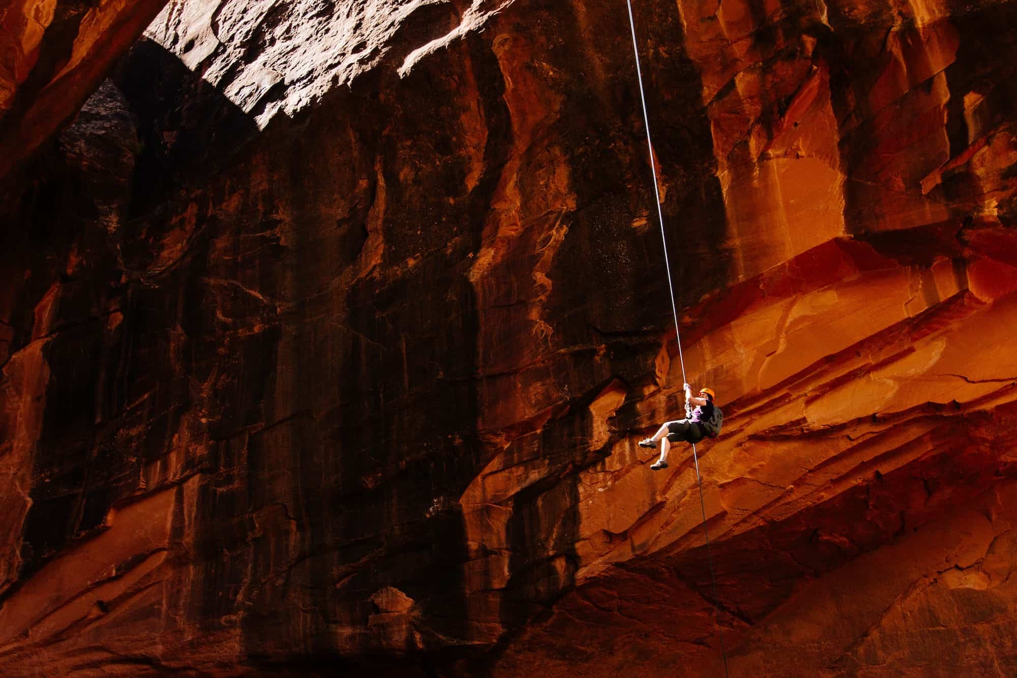
In 2019, a hiker became stranded on a ledge somewhere in Utah’s Snowy Canyon State Park. Drones were used to search for and rescue people in the mountains at night. The rescue team used SAR drones as a light source to locate the hiker. Similar to this, there are thousands of stories about how drones have helped save lives.
Challenges For Search Rescue
Responders face inherent dangers during rescue missions exacerbated by incomplete situational information.
When the target areas are large and rugged terrain, rescue teams may be spread thin.
Nighttime and low-light conditions impede search efforts, making rescue missions significantly more difficult.
Who is the most important person during a search and rescue operation?
The Incident Commander or Search Coordinator is the most critical role in a search and rescue operation. This leadership is required whether the NIMS standard is used or a group of civic-minded individuals conducts a small search. The Search Coordinator manages available resources and serves as “field general,” coordinating all movements and ensuring that the search is carried out as efficiently as possible.
How Drones help Search and Rescue operations
The incident commander needs timely, accurate, and valuable overview information to coordinate an effective search and rescue operation. Likewise, the searchers need detailed information that can be analyzed to improve decision-making or identify an object of interest.
Compared to other public safety operations, search and rescue operations are relatively tricky and unpredictable. These two factors have a significant impact on the overall outcome of a SAR mission:
Time: In most SAR missions, the missing person is trapped in a life-threatening situation with limited time. As a result, it is critical for rescuers to locate the individual as soon as possible.
Terrain: Outside of human settlements, SAR missions may encounter difficult terrain in a snowy mountain, rainforest, or other natural environment, which may slow the entire operation.
Here are some of the reasons why SAR teams all over the world are using drones to overcome challenges in their work:
Drones move quickly: Drones can reach a location much faster than ground-based vehicles, and they can even reach inaccessible places. In the Czech Republic, for example, the Mountain Rescue Service of the Czech Republic employs drones to locate missing people trapped by an avalanche.
Situational awareness: Drones provide low-cost, quick access to aerial data over a large area. This allows responders to map the entire search zone and pinpoint potential locations where the missing person may be trapped.
Detect and identify: Drones can carry a variety of sensors that can be used to identify ground objects.
Communication: A drone equipped with a sound or light device can repeatedly broadcast a message alerting a missing person that rescuers are looking for them.
Looking for an object in a chaotic scene
Disaster areas are frequently littered with downed trees, collapsed buildings, ripped-up roads, and other debris, making it difficult to locate victims needing rescue.
Overhanging trees will typically hide objects, requiring the use of sophisticated 3D lidar sensor technology which uses light pulses to help detect those hidden objects.
In a crowded environment, artificial neural network software that could be run on a computer on a drone helps mimic some aspects of human vision. It analyzes images captured by the drone’s sensors and reports significant findings to human controllers.
First, the images are processed by the system to improve their clarity. Just as humans squint their eyes to adjust their focus, this technology uses detailed estimates of darker regions in a scene to lighten the images computationally.
Human brains use a brilliant strategy to see clearly in a rainy environment: People can see reasonably well despite the rain by noticing the parts of a scene that do not change as raindrops fall. Sophisticated AI-based software uses a similar strategy, continuously investigating the contents of each location in a sequence of images that provide clear information about the objects present.
What kind of data is useful in a search and rescue mission?
Drones can carry a wide range of payloads that can be used in a variety of scenarios. The thermal camera and the 4K wide-angle camera are two popular payloads used during search and rescue missions.
With the introduction of lightweight drones and high-resolution cameras, it is natural to believe that video would be the best data to collect in a search.
HD video from a drone is not very useful in a search and rescue mission because the resolution is lost when viewing a still image. A high-resolution still image, on the other hand, can provide valuable information to people searching for the missing person on the ground. As a result, cameras with high-resolution still imaging capabilities are preferred.
Thermal cameras are also used in search and rescue operations, especially at night.
Confirmation of objects of interest
When rescuers search for people trapped in disaster zones, viewers’ minds conjure up 3D images of how a person might appear in the scene. They should be able to detect the presence of a trapped human even if they have never seen one before.
This strategy is implemented by creating 3D models of people and rotating the shapes in all directions. We train the self-driving car to behave exactly like a human rescuer. This enables the system to recognize people in a variety of positions, such as lying prone or curled in the fetal position, even from varying viewing angles and lighting and weather conditions.
The system can also be trained to detect and locate a leg poking out from under the rubble, a hand waving from afar, or a head poking out from above a pile of wooden blocks. It can distinguish between a person and an animal and a tree, bush, or vehicle.
What is a thermal IR camera?
A thermal/IR camera is a sensor that detects a narrow band of electromagnetic waves known as infrared. These do not form part of the visible light that we see.
Anything with mass emits infrared radiation, which a thermal camera can detect. The camera displays the image in various shades of color or grayscale to represent varying degrees of temperature.
How Does a Thermal Imaging Drone Work?
Our eyes only see a small portion of the electromagnetic waves that surround us. This portion of the spectrum is referred to as “visible light,” and each range of the spectrum is given a familiar name: red, orange, yellow, green, blue, and so on. But what lies above and below this visible portion of the electromagnetic spectrum? Even if you’ve never seen them, you’re probably familiar with many of the invisible components: microwaves, radio waves, X-Rays, ultraviolet, and others too numerous to list.
Night vision cameras work by magnifying available light and returning it to you. Because night vision is based on reflected light, there must be some available light, such as the moon or a street lamp, or you will not be able to see a subject at all.
Instead, a thermal imaging drone can see in complete darkness because it relies on heat generated by the subject, whether it’s a warm-blooded animal (sadly, snakes are difficult to detect on thermal cameras) or a leaking window wasting your energy bill. Although the thermal camera cannot see through the glass, it can detect which parts of the window are hotter and colder, allowing you to identify any broken seals or poorly fitting frames that are leaking air.
Finally, unlike the magical imaging tools used on your favorite streaming video service’s police dramas, a drone will not allow you to watch thermal activity inside a house–you’ll need a more powerful, heavy standalone unit and possibly direct contact to see through walls.
What Other Payloads Are Useful for Search and Rescue?
Drones are equipped with more than just cameras and sensors. Dropping mechanisms, communication relays, and megaphones are examples of payloads that could be useful in search and rescue applications (loudhailers).
Delivery functions are provided by dropping mechanisms. Consider delivering a medical kit, a two-way radio, a strobe, a flare, a personal locator beacon, a water-activated life vest, a whistle, or other items.
We recommend a dual payload option with a first-person view (FPV) camera if you decide to add a dropping mechanism to your drone. You can then look down to see where you’re dropping your payload to ensure it lands correctly.
A megaphone or loudhailer mounted on a drone relays instructions to the rescue subject. You might want to confirm the identity of the person you just found. You could also ask them if they are hurt and have them point out the injury. You’ll then know what kind of medical response to send.
Drones can also serve as a communications relay if you are working in an area where radio signals are blocked. In this case, an antenna or transmitter is attached to the drone and placed between the two parties. The signal is routed via the drone.
Drone platforms are extremely adaptable, and new innovative sensors and payloads are being added to the SAR aerial toolkit every day. We invest our time in learning about new solutions and testing them out to leverage the best of the available tools for every operation.
Drones for search rescue missions
A search and rescue drone is an unmanned aircraft used by emergency services such as police officers, firefighters, or volunteer rescue teams to search large areas for missing people and crime victims in need of rescue in any environment.
In the aftermath of an earthquake or hurricane, unmanned aerial vehicles (UAVs) can provide real-time visual information and data. They can also serve as an eye in the sky, locating a missing person in the mountains, for example.
When a disaster or incident threatens people’s lives or livelihoods, emergency responders require information and real-time imagery to make better decisions and save time. UAVs can quickly provide situational awareness over a large area, reducing the time and number of searchers needed to locate and rescue an injured or lost person, significantly lowering the cost and risks of search and rescue missions. The possibilities for assisting in public safety are limitless.
We use drones that are designed to provide cost-effective, real-time data and imaging, day or night, in difficult conditions, and without endangering personnel. The infrared (IR) thermal imaging camera, which detects human body heat, is assisting in the search for missing people. This capability greatly improves the ability to find people or objects that may be hidden at night, as well as during daytime operations.
Public Safety
Last year in May, three separate search and rescue operations were recorded by public safety departments, saving the lives of four people. It is the first time in history that three consecutive drone rescues occurred on the same day.
A drone equipped with thermal imaging was used by police in the United Kingdom to locate a missing, semiconscious man on the edge of a steep cliff face in Exmouth.
The Wayne Township Fire Department in Indiana used a drone to deliver a life vest to a criminal suspect who had fled into a pond and was struggling to stay afloat.
A mother and her 15-year-old daughter were stranded in a rising river in Hill County, Texas when public safety agencies dropped a life vest to them.
Natural Disasters
During natural disasters, drones have been critical in locating survivors. Drones used thermal imaging to pinpoint the locations of people in need of rescue after hurricanes hit Texas, Florida, and Puerto Rico. Drone efforts were even used after the 2017 earthquake in Mexico, assisting in the recovery of dozens of missing people trapped beneath wreckage and rubble.
Drones were launched in the aftermath of Hurricanes Harvey and Irma to survey flooded neighborhoods, recommend resource deployments, monitor levees, assess damage to bridges, roads, and power lines, and even predict future flooding.
Fire Fighting
Fires raged through California in November of last year, becoming the deadliest and most destructive fire on record. In less than two weeks, the fires scorched more than 150,000 acres. Over the course of three days, however, 16 teams of public safety officials completed over 500 drone flights covering a total area of 26.5 square miles. This information was then used to aid search and rescue operations, aid in the planning and response to potential mudslides, pinpoint fire paths, and more efficiently fight fires.
Drones outfitted with thermal cameras were also used to assist in the fight against the South Fork Fire in Yosemite National Park. The data could alert crews when a fire had jumped a containment line, allowing them to avoid potentially hazardous conditions. “How guys get killed is weather changes on a dime, and sometimes there’s no real warning,” said Menlo Park Fire battalion chief Tom Calvert. “Having a drone expands your sphere of awareness significantly.”
Rescue Services
Our aerial solutions are being used by first responders to aid in search and rescue missions. Drones can efficiently scan vast areas and help pinpoint individuals in distress when deployed on land or at sea, thanks to high-resolution digital and thermal sensors.
Why work with BAD Drones?
Our founder was a public safety professional before becoming involved in drone services. He became involved in numerous searches for those missing in parklands and wild terrain in the North-East part of the United States and started working with friends on developing tools to improve the process. Since then, we have innovated the range of drones used, the sensors we pair with the drone, and the software we use to analyze the data collected. We get better each time we go out and we know how important the mission is, so we give it everything we have to push for successful completion.
Our entire team is committed to helping improve search and rescue missions and results. Contact us now as time is of the essence!