What is drone aerial real estate photography?
A drone, by definition, is an uncrewed aircraft. A camera that can be flown over a property by the pilot while remaining on solid ground is used for aerial photography. The pilot can capture video or still images, with views that vary greatly depending on the drone and camera.
But don’t be fooled into thinking that this tiny gadget can’t take good photos. Drones can have 4K cameras that are pretty good. Compared to the old-school approach of hiring helicopter pilots and finding a professional photographer willing to hang off the side to get the perfect shot, drones are a much more viable and safe approach to aerial photography.
Why use drone photography in real estate?
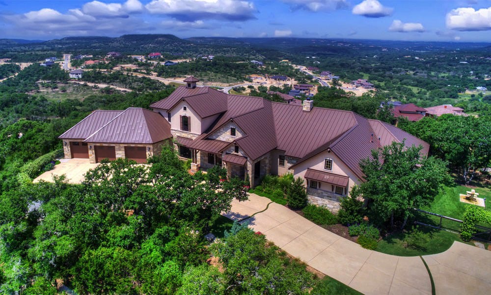
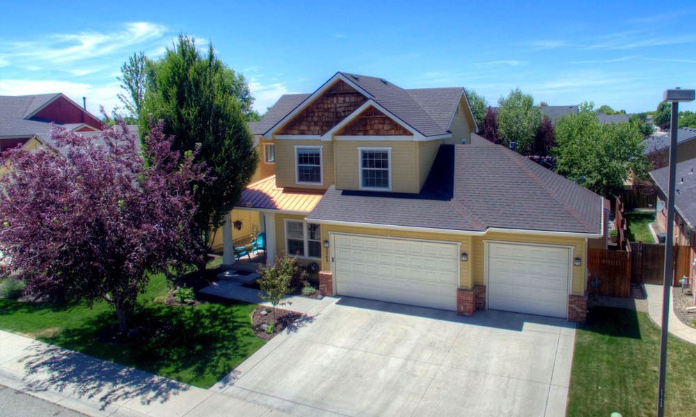
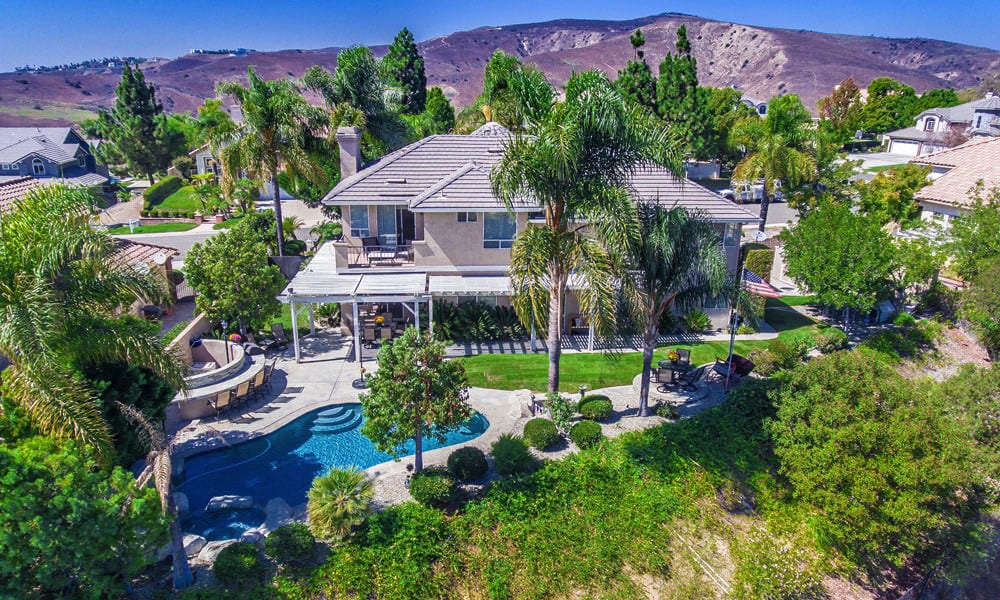
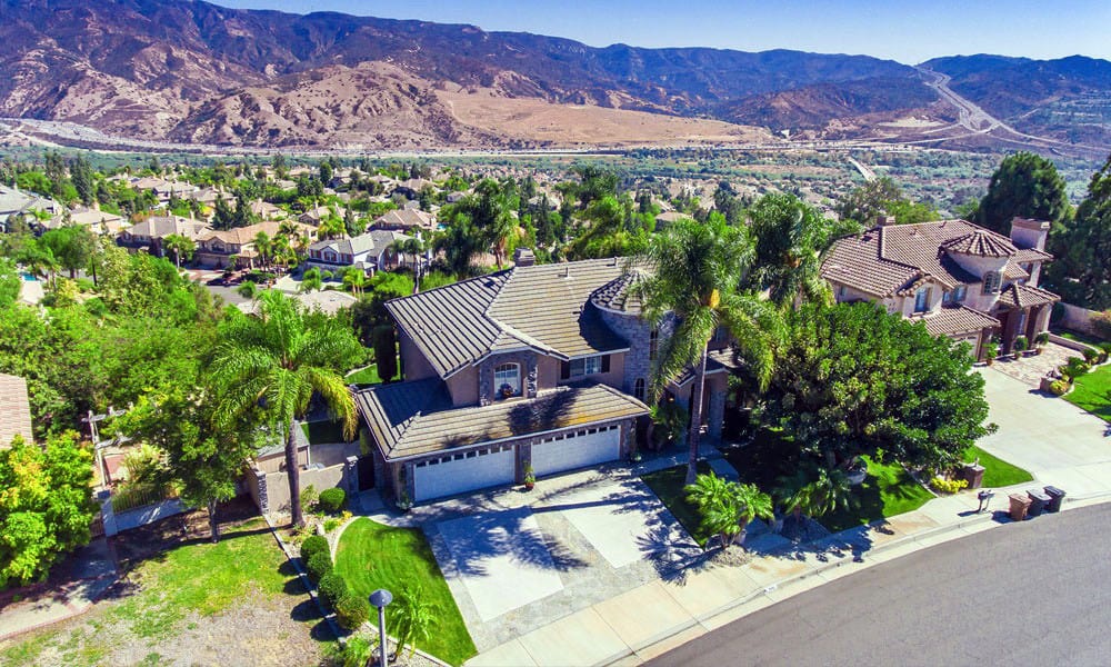
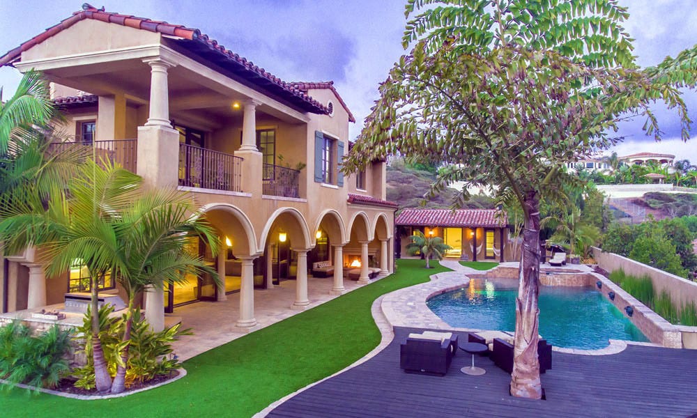
Drone-assisted aerial imagery will set you apart from traditional photography by providing the buyer with a much better sense of the lay of the land. According to MLS statistics, properties with aerial imagery are 68 percent more likely to sell than those without it. This approach is your chance to paint a picture, if you will. You can create a mood or feel for the buyer’s lifestyle if they buy this property. Instead of flipping back and forth between individual static shots, they can easily transition from one element to the next.
When to use drones in real estate
Aerial footage is not required for all real estate transactions. It will most likely be determined by your asking price for the property, potential profits, overall market, and property type. It is typically used when distinguishing features to highlight that would be difficult to convey otherwise. Large or higher-end homes, commercial property, land with many acreages, or properties with scenic views can all benefit significantly from aerial photography because it provides a better vantage point for putting all the pieces together while potential buyers are in front of their computer.
Real estate drone photography costs
Hiring a professional is the best option for many real estate agents. However, it all boils down to your financial situation, real estate requirements, and personal preferences. Depending on how frequently you intend to use real estate drone photography and video, purchasing your drone may be worth the initial financial investment and training.
Better Drone Digital Photography
Get crisp, clear aerial photos of products, services, properties, and locations. Our professional photographers and FAA-certified drone pilots will deliver stunning, high-resolution imagery suitable for print and digital media. Simply tell us your business or other goals, and we will work with you to achieve them.
You can significantly improve your ability to attract and retain customer attention by marketing your business with compelling and unique content.
Hassle-Free Aerial Imagery
Get high-resolution aerial images, video, maps, and data from one of our vetted and experienced professional drone pilots and photographers. Our nationwide network of certified pilots has the skills and training needed to complete the job correctly the first time and on time.
Tell us what you want to achieve. We’d like to know. Before launching any project, we believe that taking the time to understand your business objectives is essential to success. We understand that no two projects or properties are the same and that a cookie-cutter approach will not always work for you.
Who is flying the drone?
We employ a team of qualified, professional drone pilots trained and have experience with aerial videography services for residential real estate property marketing and the commercial industry. All pilots are thoroughly vetted and tested to ensure their professionalism and quality. We are FAA-approved to fly commercially and follow all local and federal regulations. For your peace of mind, all of our drone services include insurance.
What is included in your order?
We will provide high-resolution aerial footage of your property, HD video clips, and edited marketing videos depending on your package. In addition, we offer mapping and photogrammetry applications as an added service for customers who require more sophisticated drone output. We host the videos on our servers so that you can download them for personal use, share them with colleagues via a link, or easily embed them on your website. Alternatively, we can deliver video to your location via traditional physical delivery on a drive. All drone videography that has been commissioned is yours to keep and use as you see fit.
How long does it take?
After you place your order, a Drone Pilot will visit and fly your site within a few days (subject to weather and your preference). Please allow three additional business days after the flight for aerial marketing packages and three to five business days for edited marketing videos.
Tell Us About Your Project
Describe your project and tell us what kind of footage or videos you’d like to have taken.
SPECIAL OFFER FOR REALTORS: Get Your Next Aerial Photo Package ($199 value) for FREE!
B.A.D. Drones LLC is a professional Aerial Real Estate Photographer. As a professional Aerial Real Estate Photographer, we can help you sell your home faster, and for more money. There are four main advantages to using Aerial photography.
Four Ways Aerial Real Estate Photography Benefits Realtors:
- Aerial photography helps properties sell faster
- They generate higher interest and a higher sales price
- Aerial photography shows previously unseen attractive property features that a regular ground-level image could never capture
- Aerial photographs demonstrate the higher value of the property



We’d like to provide you with your first aerial photo session for your next listing, entirely free. You can see first-hand how our aerial photography services may assist you in marketing your listings. You have nothing to lose because there is no obligation. Simply phone (307) 299-1866 or (307) 299-0219. Or you can also fill out the form below to take advantage of this great offer:

